Hierarchical Voronoi Classification
A multi-level extension of classical Voronoi partitioning for adaptive spatial classification and structured model representation.
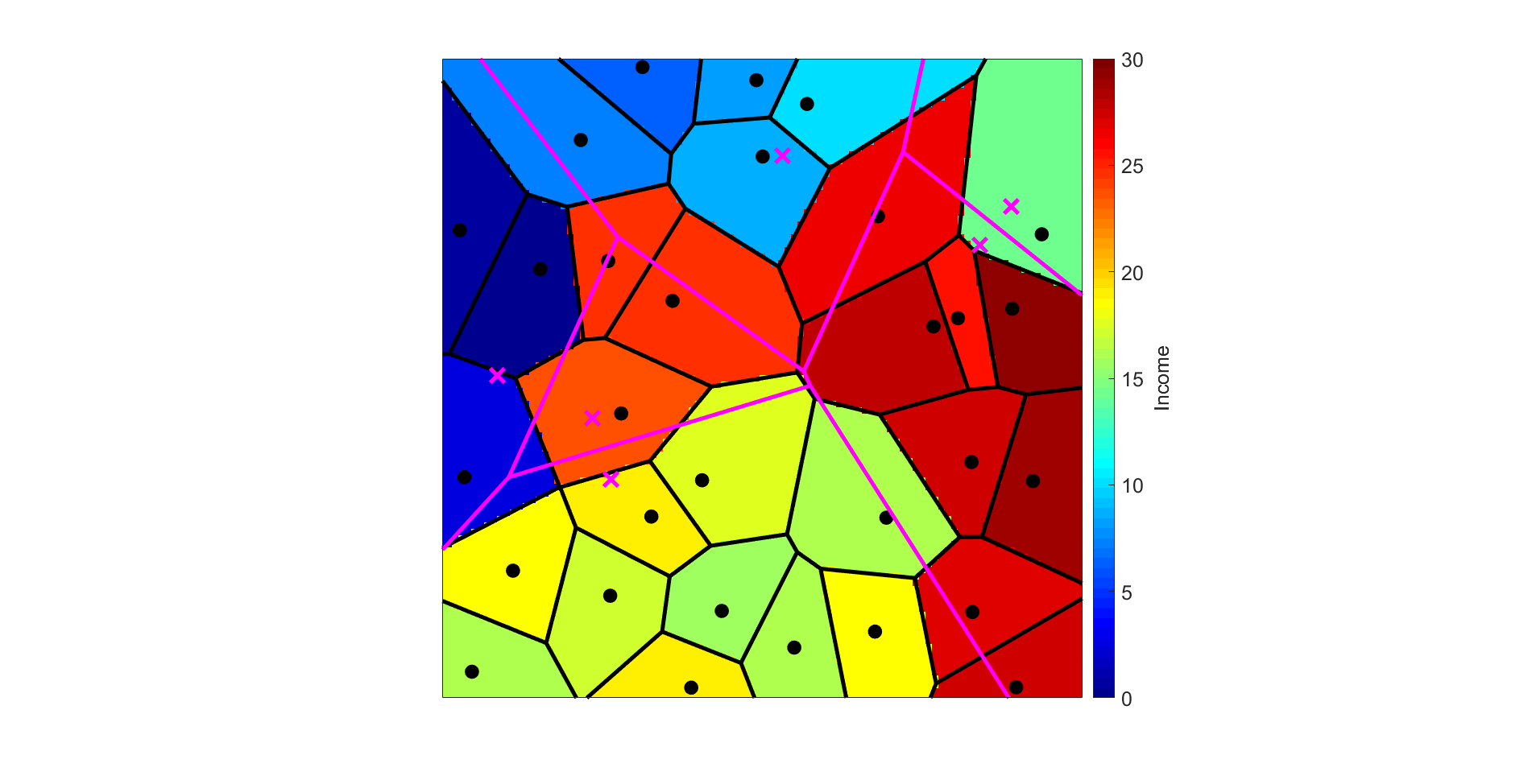
Classical Voronoi diagrams partition space by nearest-neighbor distance, assigning each point in a domain to one of several generating nodes. That works well for flat partitioning, but many real problems contain structure at more than one level. In this project, I explored a hierarchical version of the Voronoi concept in which coarse regions are subdivided into finer partitions while still preserving spatial coherence.
The city-and-mall example in the figure illustrates the intuition behind the method. A first partition separates the domain into broad socioeconomic zones, while a second partition inside each zone identifies more local decision regions such as nearest service locations. The result is a classification scheme that can answer both high-level and local questions without switching to a completely different model representation.
This idea extends well beyond toy geometry. Hierarchical partitioning is useful when the underlying system contains nested structure, such as geological units, anomaly regions, or decision layers that must be interpreted at different scales. It aligns naturally with my broader research interest in adaptive parameterization and uncertainty-aware inference.