Subsurface Model
See how surface measurements can help reveal what may lie beneath the ground.
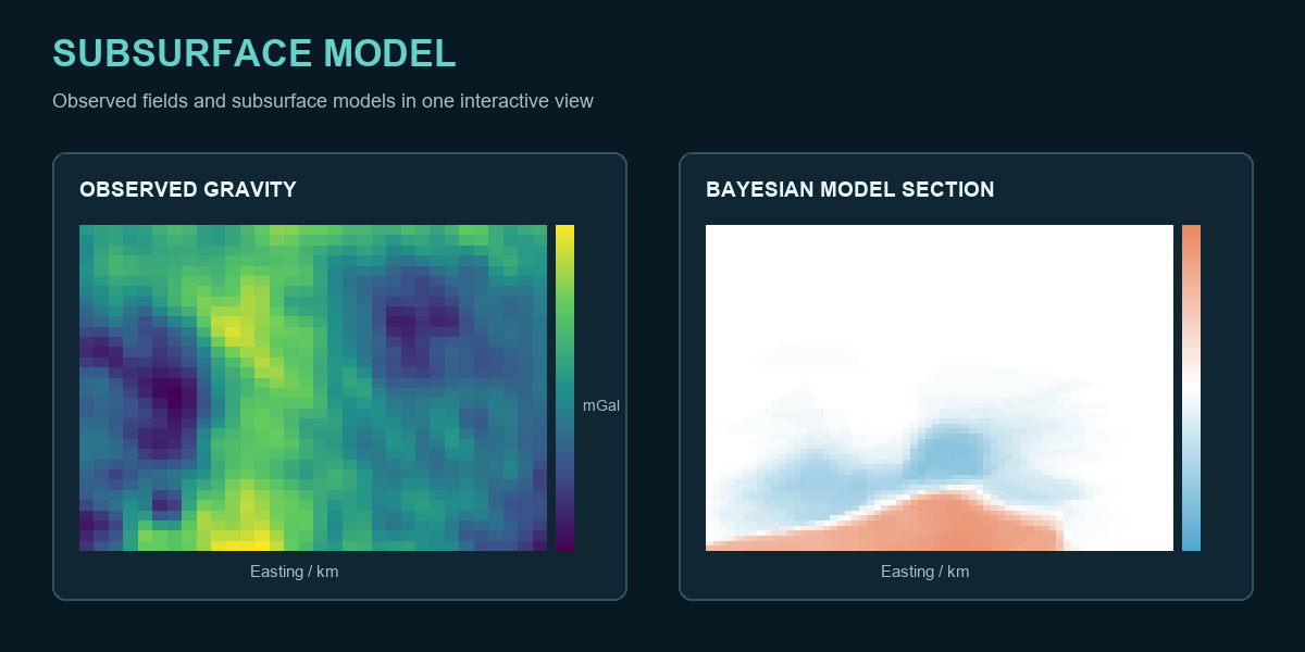
Measurements at the surface offer clues about structures we cannot see directly. This project brings those measurements and two model interpretations into one interactive view. Rotate the 3D model and choose a cross section to explore a different depth or direction.
Compare the observed gravity or magnetic map with each model's prediction. The uncertainty panel shows where each interpretation is less certain. These are precomputed scientific results presented for exploration; the browser does not calculate a new inversion or train a model.