About
Machine Learning for Vision, Geospatial Intelligence, and 3D Data Products
I am a Machine Learning Scientist with a Ph.D. in Geomatics Engineering from the University of Calgary. My work combines deep learning, Bayesian inference, and scalable data engineering to solve problems in image understanding, LiDAR analytics, and geospatial modeling.
At Spatial Data Analytics Inc., I build production-oriented pipelines for image segmentation, object detection, and 3D point-cloud classification. My recent work spans TensorFlow and Keras segmentation models, Detectron2-based detection workflows, LiDAR feature engineering, and benchmarking across both classical and deep 3D models.
I also worked on Flyover Map 3D, a cloud application that transforms user routes into rendered 3D flyover videos using FastAPI, Docker, Cloud Run, Google Cloud Storage, Firestore, and large-scale geospatial preprocessing workflows.
 Experience
Selected Roles
Lead Geospatial AI Engineer | Spatial Data Analytics Inc. | Jul 2026 - Present
I lead geospatial AI, computer vision, and GIS solution development across LiDAR, imagery, 3D vector data, automation, and cloud-based processing workflows. My work also includes coordinating engineering and R&D delivery plans, defining AI automation workflows, and establishing technical documentation and data-processing standards.
Innovation Developer | Spatial Data Analytics Inc. | May 2022 - Jun 2026
I built production ML pipelines for image segmentation, object detection, and LiDAR / point-cloud workflows on large geospatial datasets. This included agentic model-evaluation and PDF reporting workflows, GeoPandas and Shapely-based benchmarking systems, and scalable PDAL and laspy pipelines for LAS/LAZ processing.
Applied Research Scientist | University of Calgary | Feb 2022 - Jan 2023
I focused on applied geospatial and geophysical modeling, combining machine learning, Bayesian inference, and deterministic methods for subsurface interpretation. I also led Python-based analysis and uncertainty-aware workflows supporting geothermal target discovery.
Lead Innovation Developer | Flyover Map 3D | Sep 2020 - Feb 2022
I worked on a geospatial platform that generated 3D interactive maps and flyover visualizations from user-defined routes. The platform used Cloud Run, Google Cloud Storage, Firestore, FastAPI, and Docker for orchestration, delivery, monitoring, and large-scale DEM and RGB preprocessing.
Geospatial Developer | University of Calgary | Sep 2017 - Dec 2021
I developed Bayesian and machine-learning workflows for inverse problems, anomaly detection, uncertainty estimation, and spatial-data analysis. I also built geospatial and geophysical Python pipelines for subsurface modeling and delivered 3D earth models for external clients, including ADNOC.
A cloud-based geospatial product that transforms user routes into rendered 3D flyover videos through automated preprocessing, terrain modeling, rendering, and delivery.
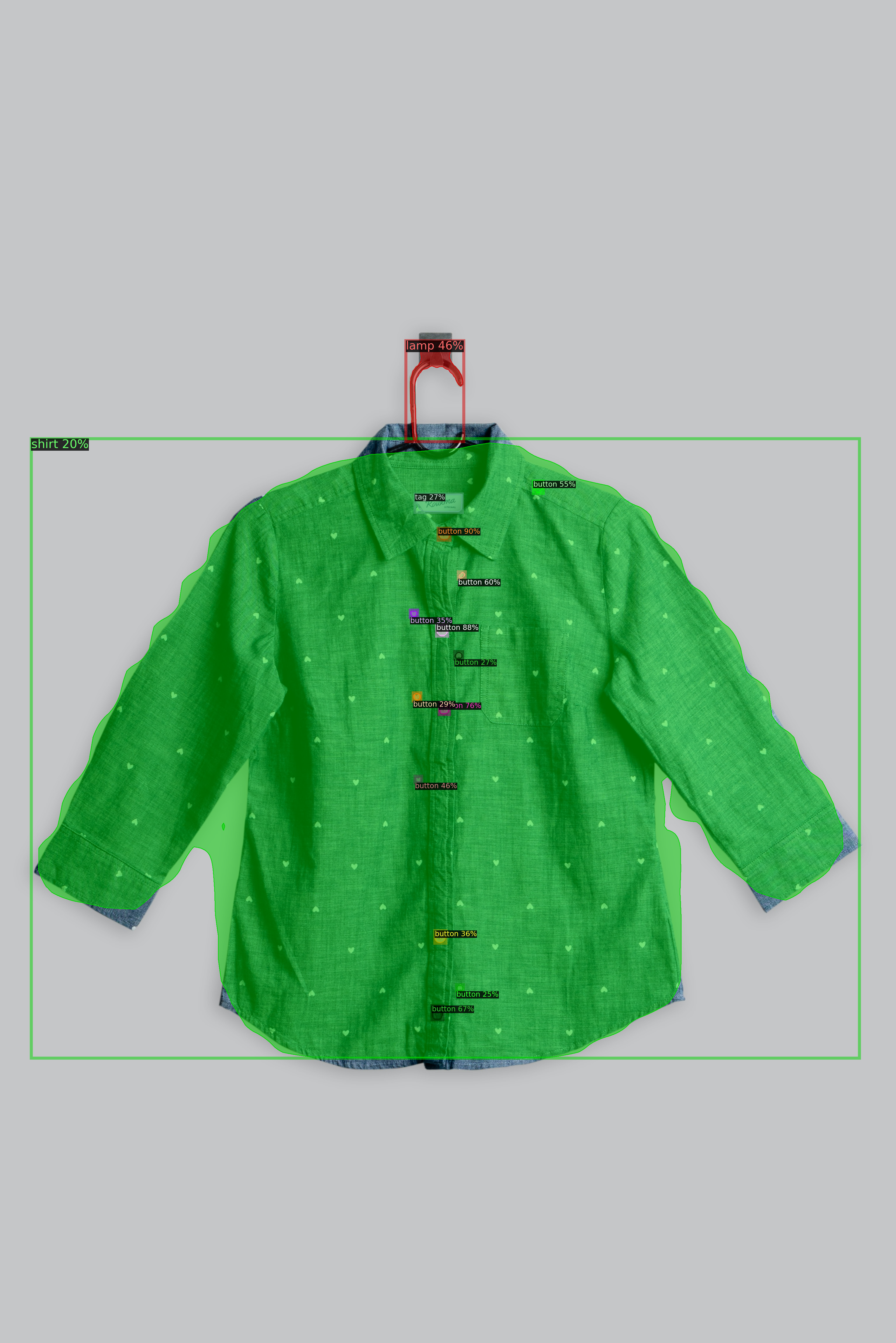
Production segmentation workflows built with TensorFlow and Keras for utility and infrastructure imagery, using pretrained encoders, custom decoders, and task-specific losses.
Benchmarking and applied development for 3D point-cloud classification using PointNet++, PointConv, and classical baselines for LiDAR data.
Scalable preprocessing and inference workflows for imagery and LiDAR, covering tiling, normalization, feature engineering, Dockerized deployment, and cloud execution.
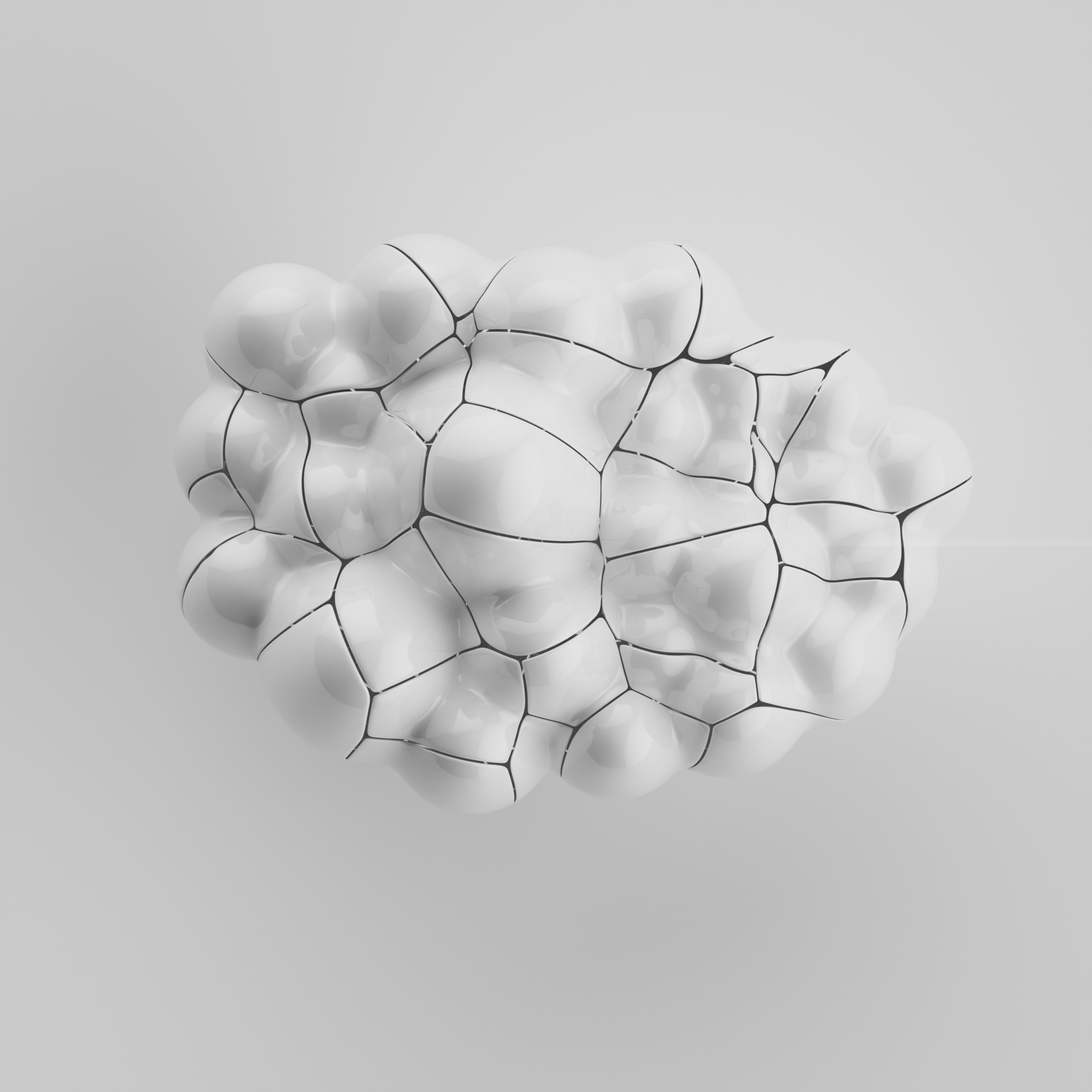
A research-driven extension of Voronoi partitioning for hierarchical spatial classification, designed to represent structure at multiple scales rather than as a single flat partition.
An adaptive geometry modeling approach in which the number and position of Voronoi cells are inferred from data, enabling flexible representation of unknown shapes and anomalies.
A data-driven approach for representing convex and concave boundaries through alpha-shape geometry, useful when the underlying structure is only partially known.

An educational Python automation project that explored DOM targeting, modal handling, scrolling strategies, and repeatable browser workflows using Selenium.
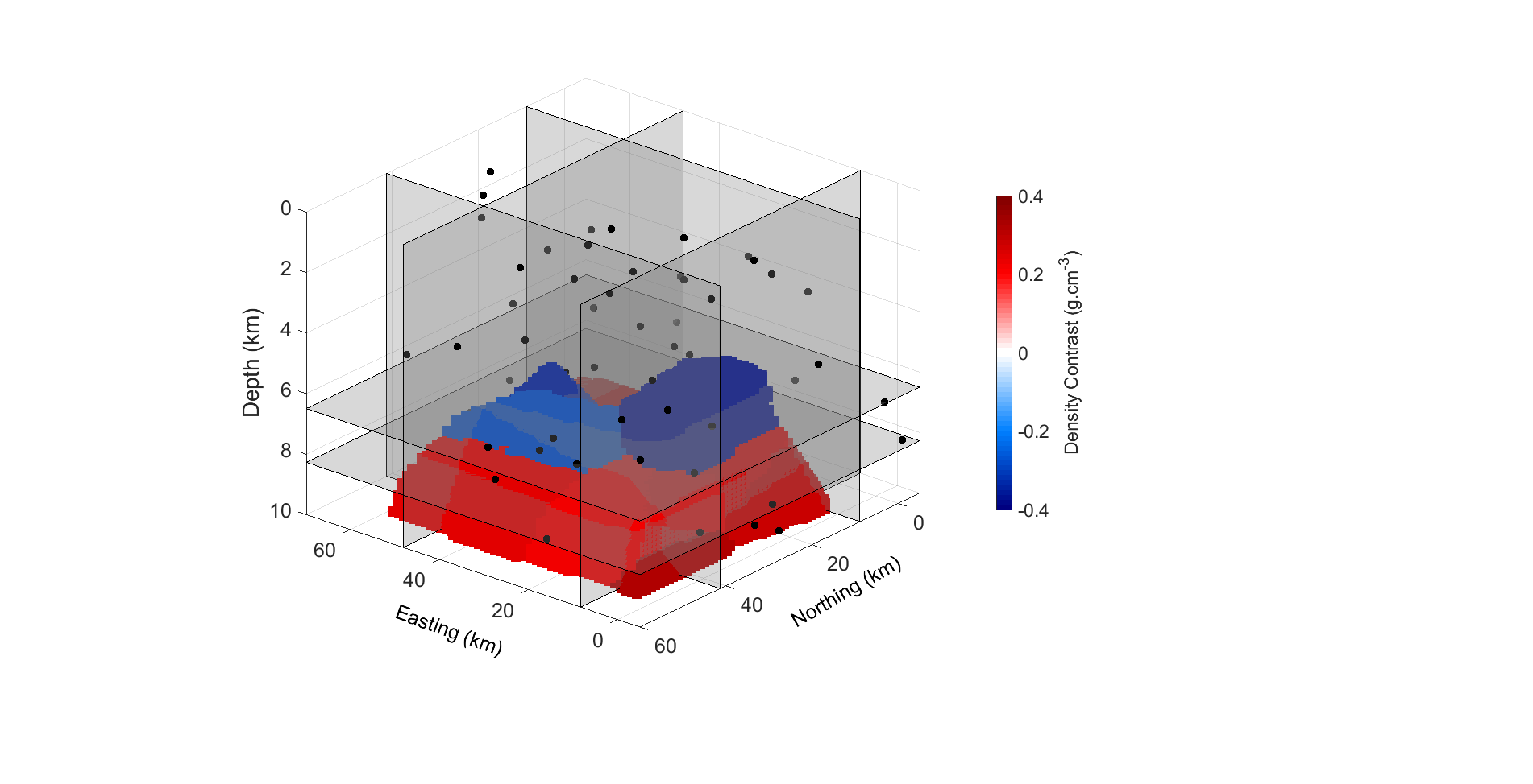
A Bayesian framework for subsurface interpretation from gravity and magnetic data, using adaptive partitioning and uncertainty-aware inference for 3D earth models.
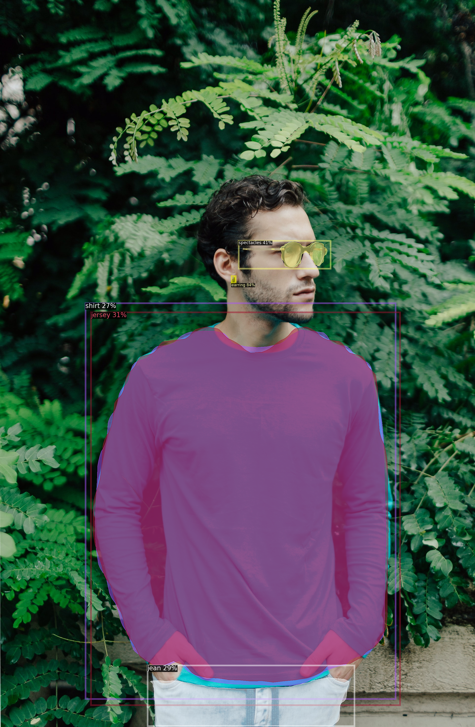
Computer-vision work using Detectron2 for instance segmentation and object detection, with practical applications in infrastructure imagery and applied ML experimentation.
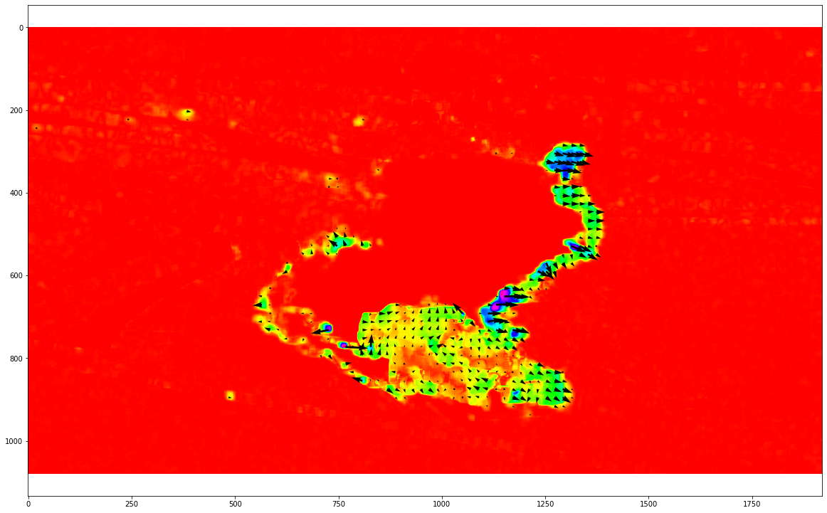
Motion estimation in video and satellite imagery using dense optical flow, with applications ranging from visual tracking to sea-surface current interpretation.
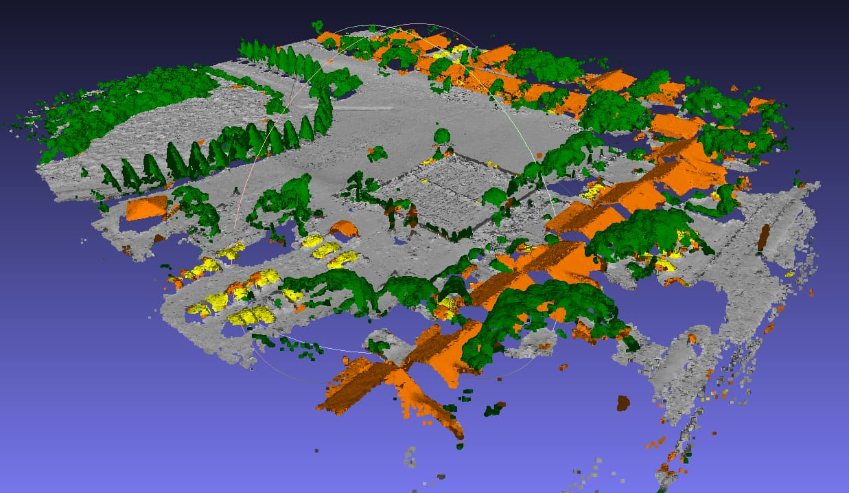
A high-performance LiDAR classification workflow built on engineered geometric features, Cython acceleration, and ensemble learning for point-cloud labeling.
Programming and Tools
- Python, C++, Cython, Julia, R, JavaScript
- FastAPI, Docker, Google Cloud, AWS, CUDA
- Git, Jupyter, LaTeX, parallel computing, MPI
ML and Computer Vision
- PyTorch, TensorFlow, Keras, Scikit-learn, Detectron2, SAM
- EfficientNetV2, DenseNet, MobileNetV2, Mask R-CNN, PointRend, Panoptic-DeepLab
- Semantic segmentation, object detection, anomaly detection, experiment design, benchmarking
Geospatial and 3D Data
- LiDAR point clouds, PointCONV workflows, feature engineering
- PDAL, GDAL/OGR, GeoPandas, Rasterio, PostGIS, Earth Engine
- Geospatial preprocessing, reprojection, mesh generation, scalable inference
The production frameworks I work with span TensorFlow/Keras segmentation pipelines, Detectron2-based instance segmentation and detection, and 3D point-cloud classification workflows ranging from feature-engineered random forests to PointNet++ and PointCONV benchmarking.
Awards
Scholarships and Recognition
- Alberta Graduate Excellence Scholarship, 2021
- Alberta Graduate Excellence Scholarship, 2019
- Helmut Moritz Graduate Scholarship, 2019
- External Awards: Miscellaneous, 2019
- 3rd Place at the Geomathon Competition, 2019
- Teaching Award, 2018
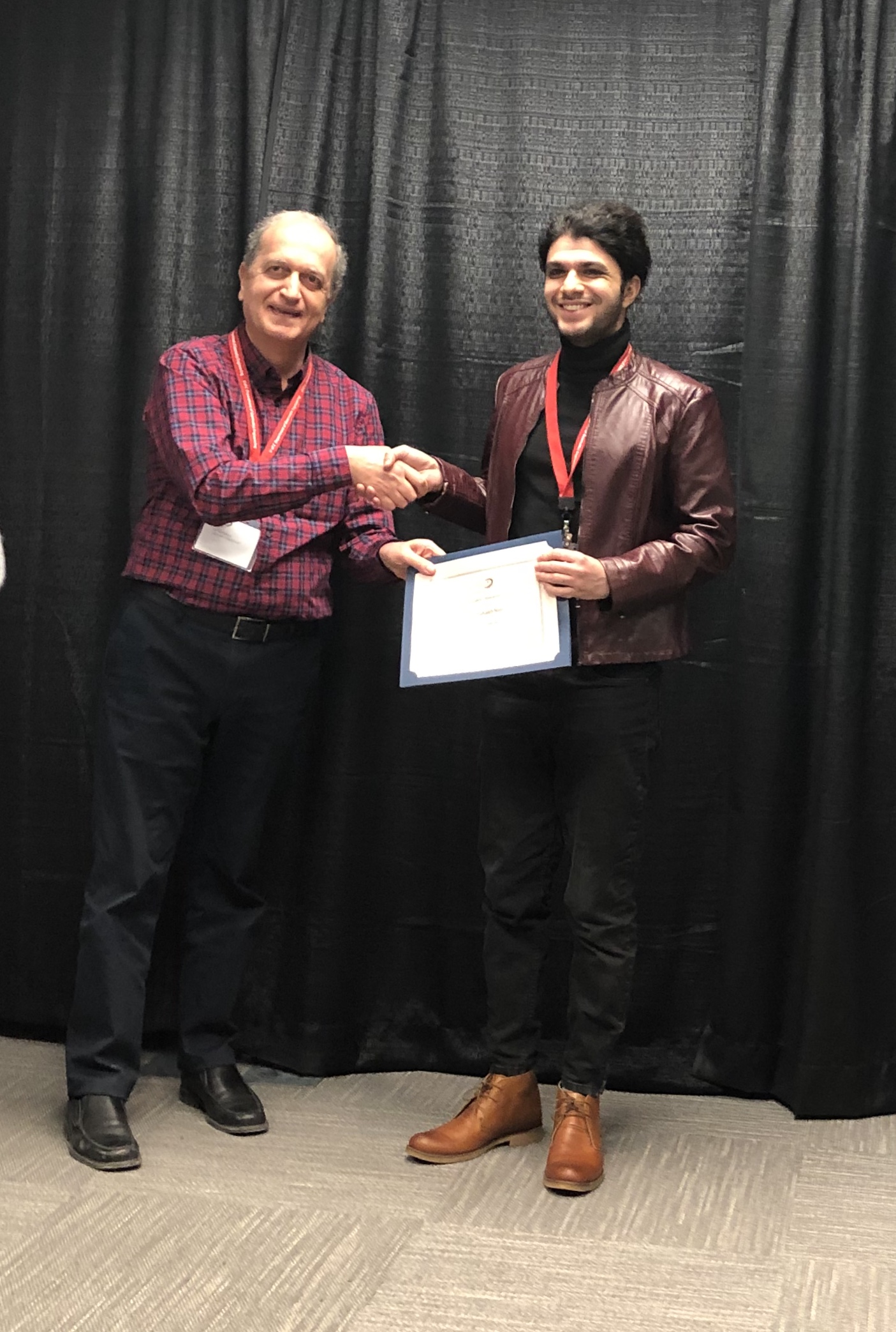
These awards reflect academic performance, research contribution, and teaching excellence during my graduate studies in Geomatics Engineering.